First Warn for morning rain, round 2 possible later today
Published: Jul. 9, 2026 at 5:31 AM CDT|Updated: seconds ago
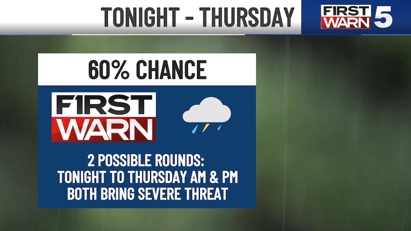
KANSAS CITY, Mo. (KCTV) - Storms slammed Kansas City early Thursday with heavy rain, hail, and high winds, and while conditions improve after 9 a.m., another isolated round of potentially severe storms could redevelop late this afternoon into the evening.
Thursday Morning:
- Heavy rain, hail, and high winds moved through Kansas City early this morning—that was the heaviest of it
- Scattered rain around for parts of the commute that may cause minor delays
- Rain largely shutting down after 9 a.m.
- Mostly cloudy skies
What you need to do:
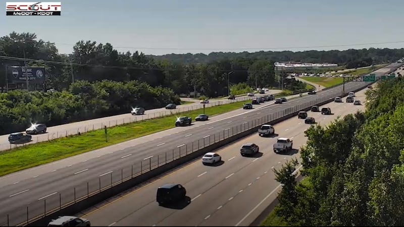
- Watch for lingering wet roads and standing water through mid-morning
- Use caution on highways where pooled water may still be present
- Keep an umbrella handy if you’re out before 9 a.m.
Temperature: Low 70s
THURSDAY AFTERNOON/EVENING: Round 2 of Storms Possible
- Isolated thunderstorm cells possible around 3–8 p.m. Thursday
- Not as widespread as the morning round, but a severe threat if storms develop
- Rain chance during Fan Fest is 50%, but any disruptions would likely be brief
- The Luke Bryan concert at Morton Amphitheatre will likely be dry
What to expect:
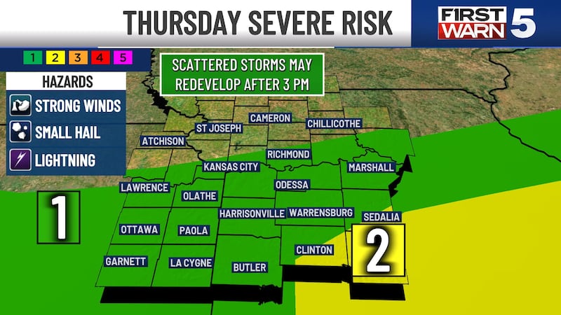
- All severe threats possible: strong winds, hail, and isolated tornado potential
- Mainly south of I-70
- Severe risk: Level 1/5 for Kansas City metro and south | Level 2/5 for southeastern areas
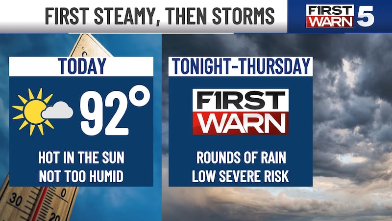
You’ll notice the humidity is back!:
Temperature: Near 89°F | Feels like mid-90s with humidity
FRIDAY: Rain Possible, But More Spotty
- 40% chance for rain & storms
- Two possible rounds: 5-10 a.m. and 3-9 p.m.
- Low severe threat (Level 1/5 for I-70 and south) with strong wind and hail potential
Temperature: Cooler than Thursday—highs near 86°F (thanks to clouds and rain)
SATURDAY: World Cup Match Day (Argentina vs. Switzerland at KC Stadium, 8 p.m.)
- Lower rain chances: around 20% (highest in morning to early afternoon)
- Warm and humid
- Match conditions at 9 p.m.: mid-80s and likely dry
Temperature: Highs near 88°F | Heat index in the mid-90s
SUNDAY & BEYOND: Heat Returns
What’s happening:
- Sunday is hot and sunny with highs in the upper 80s
- 90s return starting Monday (low to mid-90s)
- Extended hot stretch ahead
- Humidity levels look manageable, so heat index may stay at or below 100°F
To get the latest weather updates sent to your phone, download the KCTV5 Weather app here.
Copyright 2026 KCTV. All rights reserved.