From fantastic to freezing - First Warn for chilly change ahead
Published: Nov. 10, 2026 at 5:07 AM CST|Updated: 4 hours ago
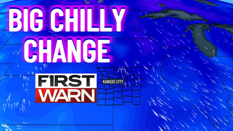
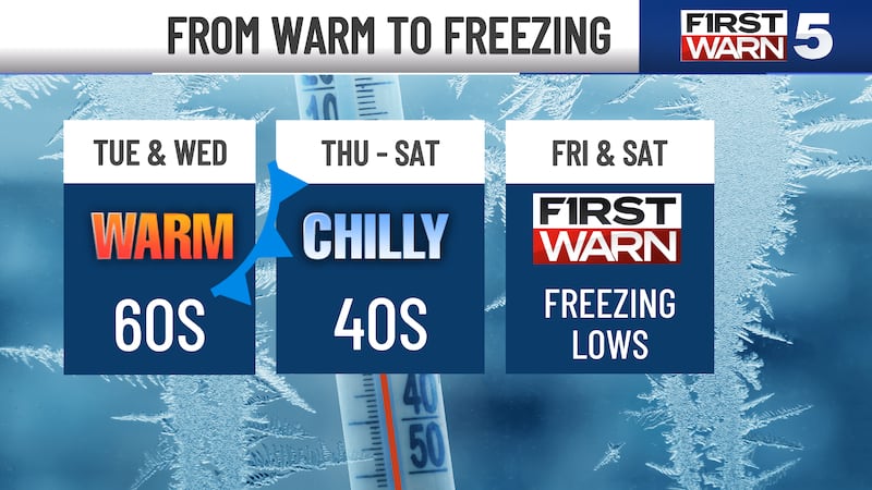
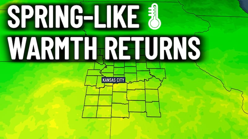
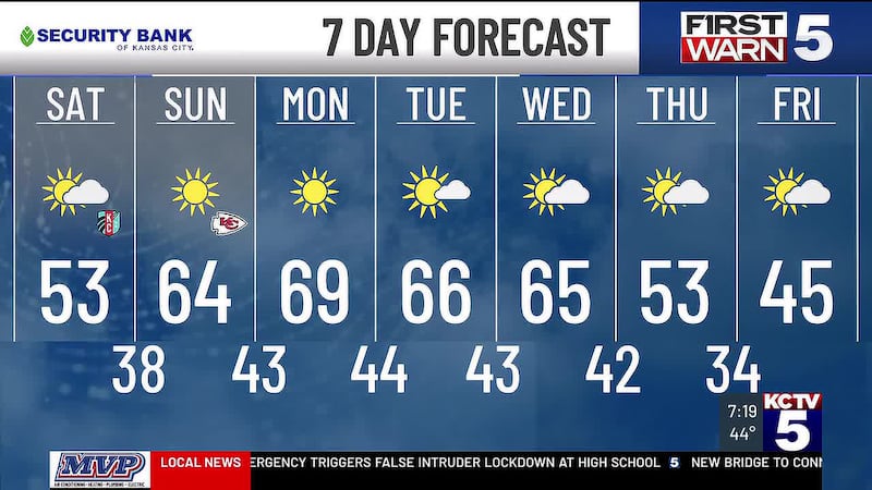
KANSAS CITY, Mo. (KCTV) — Enjoy the sunshine and near-70° warmth Tuesday; a sharp cooldown is on the way, with Kansas City’s first freeze expected Friday morning.
Tuesday: A Terrific Day!
- Patchy morning fog is possible, with temperatures starting in the chilly 40s.
- We warm quickly with abundant sunshine and very light southeast winds
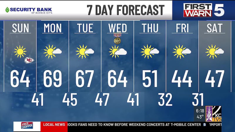
- We top out in the upper 60s, which is 10-15° above normal and more typical of late April
- A fantastic day to be out and about!
Wednesday: Still Mild, But Changes Begin
- Highs still hit the mid-60s, but our first of several fronts will kick up the wind
- Expect a breezy day with northwest winds gusting up to 30 mph
- Mostly sunny skies & mild weather make for one more generally comfortable day

Thursday: Temperatures Crash
- A potent front knocks us down 15-20°
- Highs hit the upper 40s
- A steady northwest wind adds to the chill
- Mostly sunny
First Warn: Freezing Friday Morning
- A First Warn is in place for the season’s first freeze for Kansas City Friday morning, with lows around 31 degrees.
- Prepare for freezing temperatures by disconnecting hoses and covering or bringing in any plants still outside that you want to protect from the cold.
- Friday afternoon remains chilly, with highs in the lower 40s
Weekend: Wintry Chill Remains
- Saturday morning brings another freeze, with lows in the 20s across the KCTV5 area—sunshine returns, with highs in the mid-40s.
- Sunday stays in the upper 40s with more clouds and a 30% chance of a few spotty & light showers.
To get the latest weather updates sent to your phone, download the KCTV5 Weather app here.
Copyright 2026 KCTV. All rights reserved.