FIRST WARN FORECAST: Another round of storms arrives later this week
Another round of storms comes later this week, along with the long-awaited cool-down!
A healthy round of storms brought much-needed rain to the area Tuesday evening. This August hasn’t even seen half the normal amount of rain it usually does, so this helped. The rain will be largely gone by the morning, leaving only a small 20 percent chance for a stray light shower. We start in the low 70s, but we eye the 90s once again by the afternoon. It won’t be as hot as recent days, but low 90s with a heat index near 100 will be a reminder it is still summer. A slight bump in rain chances comes in the mid-late afternoon at 30 percent.
Thursday will be the last hot day with low 90s, but what stands out about Thursday is the evening and nighttime storms. We are First Warning you for a line of widespread storms that sweeps through the area. The severe risk is currently low at a Level 1/5, but some hail and severe winds are possible.
Friday morning also carries a First Warn, as lingering storms are possible. It will clear out for the afternoon, and we will enjoy some refreshingly cooler weather. Highs by Friday take about a 10-degree plunge to the low 80s.
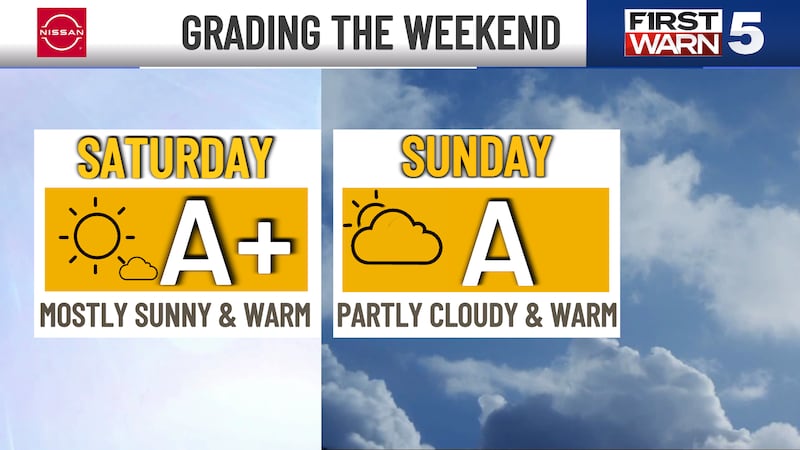
Labor Day Weekend is nothing short of spectacular, with 70s and 80s and loads of sunshine.
Copyright 2024 KCTV. All rights reserved.